

Get off the grid and into the wilderness with a short paddle across Lake Revelstoke to Big Eddy creek! With glaciers hovering above, your imagination will quickly sweep you away to the endless adventure possibilities on the other side of the lake.

Glaciers above Big Eddy Creek
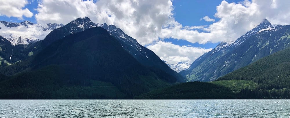
Lake Revelstoke exists with the addition of the Revelstoke dam, stopping the Columbia River in it’s tracks (ok, a bit flows through), flooding the basin just above Revelstoke, BC. Located in the interior temperate rainforest belt stretching diagonally through BC, the lake features steep inlets, giant cedar forests, and waterfalls galore.
Originally the primary highway to Golden and called the ‘Big Bend Highway’, Highway 23N now terminates at the Mica dam 200km north of Revelstoke and follows the eastern shore of Lake Revelstoke. Along the way, the highway climbs above the Revelstoke dam and provides so many access points to the lake for camping and boat launching.
Lake Revelstoke is your oyster. For paddling. Big Eddy Creek is just one of so many places you could pick to explore on Lake Revelstoke. The closest spot to launch is reached by turning off Hwy 23N onto North Cap Forest Service Road, following it about 400m to the water’s edge.

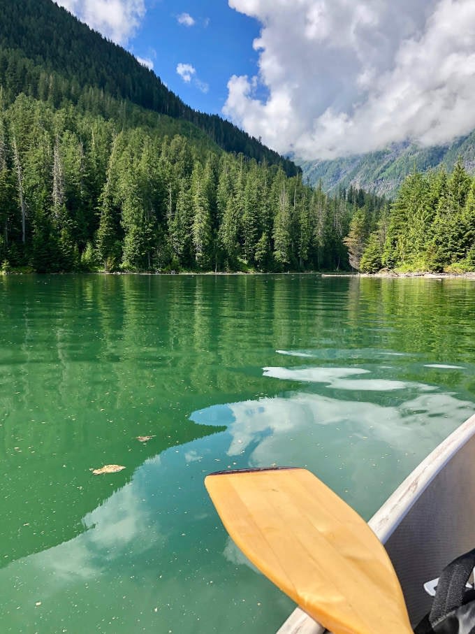
Paddling towards Big Eddy Creek 
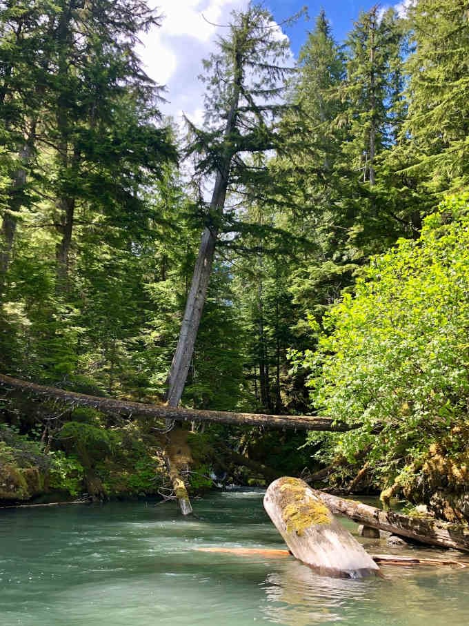
Looking up Big Eddy Creek

Make sure you have all of your water safety equipment and knowledge before setting off! The wind can funnel right up the lake and create some surprisingly choppy conditions out there.
The paddle from North Cap FSR launch to Big Eddy Creek is about 2km and will take around 30-60 minutes of paddling depending on your pace and the weather conditions. The rest of the adventure is yours to explore! Look up the GPS coordinates in the BETA below!

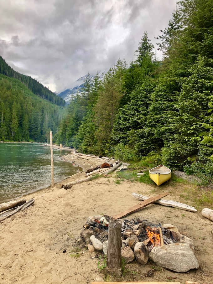
Overnight paddling at Big Eddy Creek on Lake Revelstoke 
Waterfall on Lake Revelstoke
BETA
Cost: FREE
When to go: when the weather is nice for paddling
Access: From Revelstoke, drive North on Highway 23N about 46km until you reach the turnoff onto North Cap FSR, marked with a sign at the entrance off the highway at the coordinates listed here.
Turnoff from Highway 23: N51.34768°, W118.36970 °
North Cap FSR boat launch: N51.34615 °, W118.36849 °
Big Eddy Creek: N51.331904°, W118.385708°
Pingback: Keystone and Standard Basins | exploreoutside.ca